Work
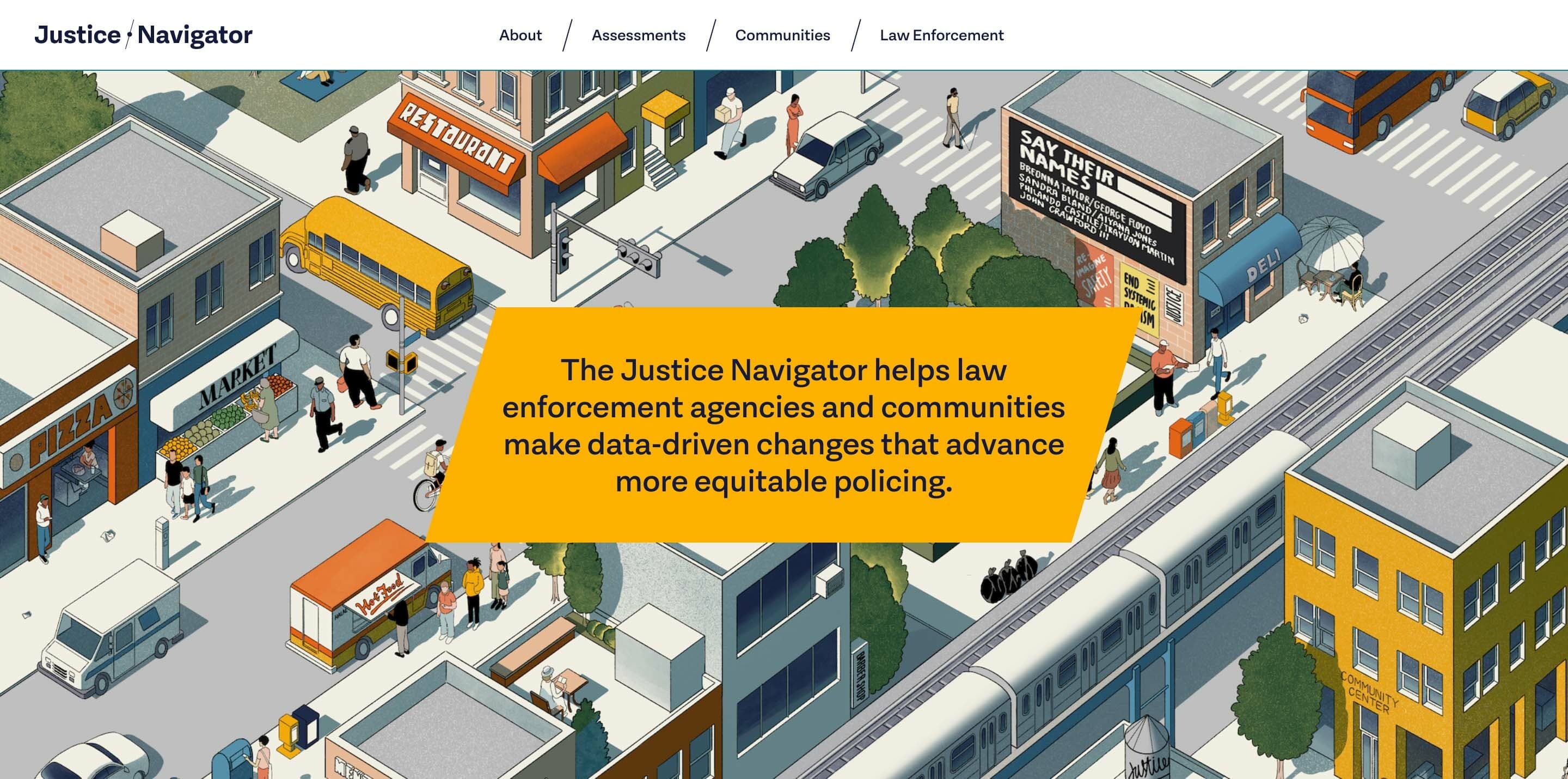
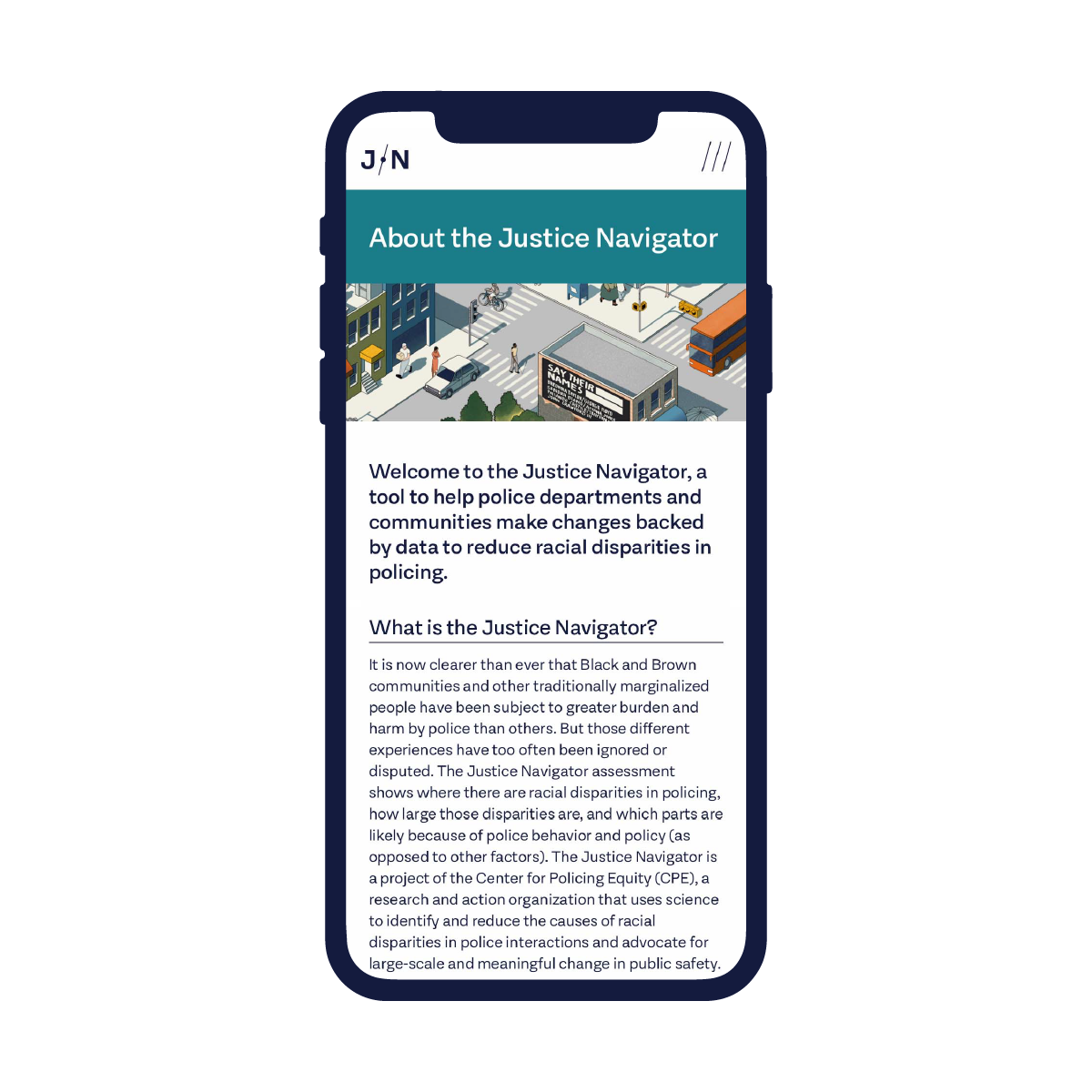
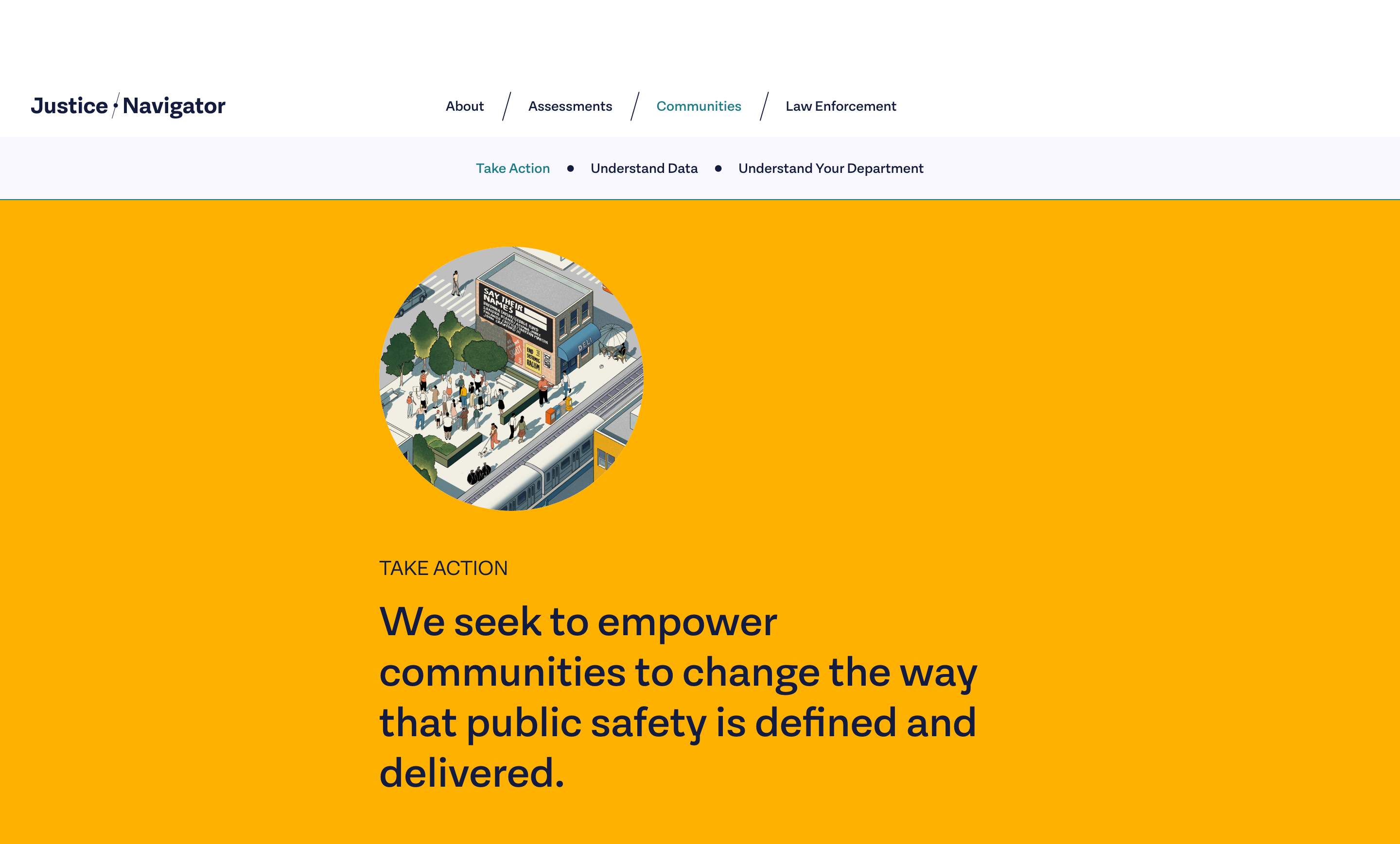
Justice Navigator
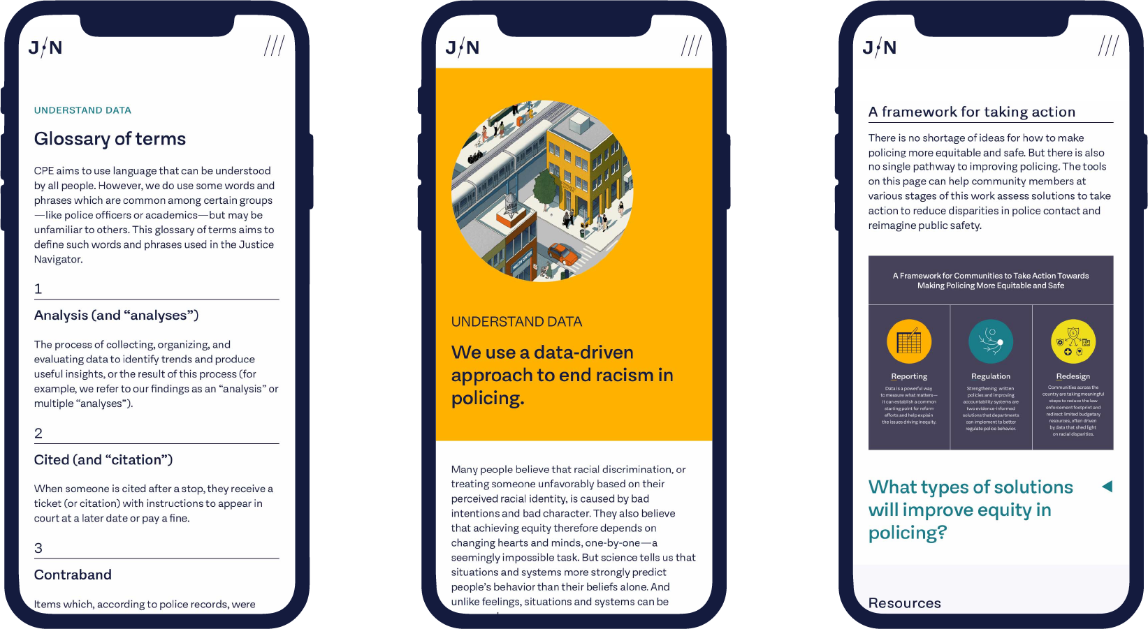
The Justice Navigator helps law enforcement agencies and communities make data-driven changes that advance more equitable policing.


News & Recognition
Project Credits
Services
Project Team
- Sarah Hallacher
- Delaney Weber
- Lola Jacobs
- Deroy Peraza
Collaborators